Every great mountain drive has a beginning, and for travelers heading east from Questa, it begins on NM 38. The highway was named by 1912 for the Questa-to-Eagle Nest route, a road tying the village to the Moreno Valley. More than a century later, it remains the way east: out of Questa, into the canyon, and up toward the high country.
From Questa, the road follows the Red River. The river is the highway's companion, guiding it east through the canyon and through the town of Red River itself. Driving this stretch means driving with water beside you, the road and the river sharing the same narrow mountain corridor, bend for bend, as the valley walls rise around them.
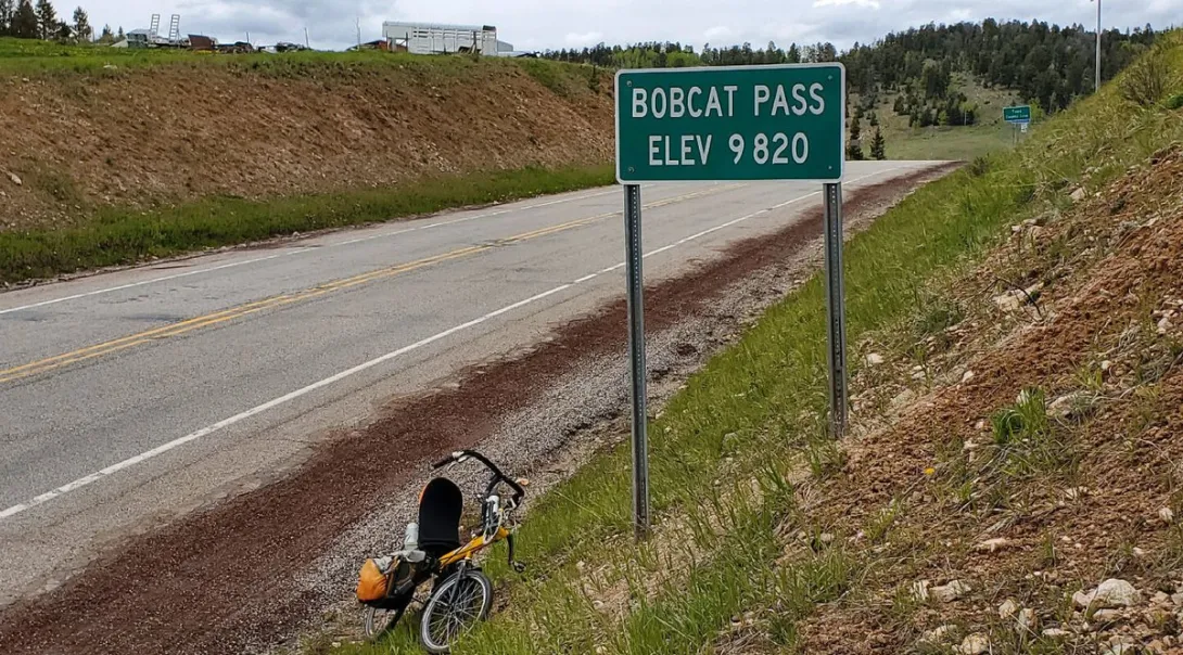
Beyond Red River, the climb begins in earnest. NM 38 rises to Bobcat Pass, at 9,820 feet, one of the great high points of any New Mexico drive. At that elevation the air is thin, the forest is high-mountain country, and the road crests the divide before descending into the Moreno Valley on the other side. Reaching the pass sign is a small ceremony every traveler on this road gets to perform.
The descent delivers the driver into the Moreno Valley, completing the crossing from the Questa side to the Eagle Nest side of the mountains. It is a journey between two worlds in a single drive: the Red River canyon behind you, the broad valley ahead, and a 9,820-foot pass in between.
In time, this road became part of something larger. NM 38 forms part of the 84-mile Enchanted Circle around Wheeler Peak, which rises to 13,161 feet and anchors the entire loop. The Circle binds together Questa, Red River, Eagle Nest, and the country around New Mexico's highest peak into one continuous scenic journey, and the Questa-to-Bobcat Pass stretch is one of its finest chapters.
The honors followed. The Enchanted Circle was designated a National Forest Scenic Byway on December 14, 1989, and a New Mexico Scenic Byway on July 31, 1998. Two designations, nearly a decade apart, confirmed what drivers already knew: this is one of the great roads of the Southwest. For Questa, it all starts at the east edge of the village, where NM 38 turns toward the river, the canyon, and the pass.